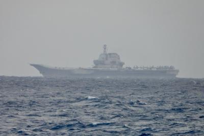
The Chinese threat to invade Taiwan is serious and more imminent than many understand, the US admiral chosen to lead the Pentagon’s Indo-Pacific region said on Tuesday.
China considers taking control of Taiwan its “No. 1 priority,” US Navy Admiral John Aquilino, nominated to become commander of the US Indo-Pacific Command, told the US Senate Committee on Armed Services.
“The rejuvenation of the Chinese Communist Party is at stake” with the Taiwan issue, he said.

Photo: AFP
Aquilino disagreed with recent comments by the outgoing US Indo-Pacific commander, US Navy Admiral Philip Davidson, that China could attempt to take over Taiwan as soon as six years from now.
“My opinion is that this problem is much closer to us than most think and we have to take this on,” he told the panel, which was reviewing his nomination.
Aquilino said that the threat is such that the US needs to implement a proposed US$27 billion plan to boost US defenses in the region “in the near term and with urgency.”
“The Chinese Communist Party has generated some capabilities in the region that are designed to keep us out,” he said. “The most dangerous concern is that of a military force against Taiwan.”
However, Aquilino declined to comment on the suggestion by US Senator Tom Cotton that Beijing could opt to attack Taiwan as early as next year.
Aquilino, currently the head of the US Pacific fleet, said that there are two major concerns if China seized Taiwan: the potential threat to global trade and the damage it would have on the US’ credibility with its Asian allies such as Japan, South Korea and the Philippines.

US President Donald Trump yesterday announced sweeping "reciprocal tariffs" on US trading partners, including a 32 percent tax on goods from Taiwan that is set to take effect on Wednesday. At a Rose Garden event, Trump declared a 10 percent baseline tax on imports from all countries, with the White House saying it would take effect on Saturday. Countries with larger trade surpluses with the US would face higher duties beginning on Wednesday, including Taiwan (32 percent), China (34 percent), Japan (24 percent), South Korea (25 percent), Vietnam (46 percent) and Thailand (36 percent). Canada and Mexico, the two largest US trading

AIR SUPPORT: The Ministry of National Defense thanked the US for the delivery, adding that it was an indicator of the White House’s commitment to the Taiwan Relations Act Deputy Minister of National Defense Po Horng-huei (柏鴻輝) and Representative to the US Alexander Yui on Friday attended a delivery ceremony for the first of Taiwan’s long-awaited 66 F-16C/D Block 70 jets at a Lockheed Martin Corp factory in Greenville, South Carolina. “We are so proud to be the global home of the F-16 and to support Taiwan’s air defense capabilities,” US Representative William Timmons wrote on X, alongside a photograph of Taiwanese and US officials at the event. The F-16C/D Block 70 jets Taiwan ordered have the same capabilities as aircraft that had been upgraded to F-16Vs. The batch of Lockheed Martin

GRIDLOCK: The National Fire Agency’s Special Search and Rescue team is on standby to travel to the countries to help out with the rescue effort A powerful earthquake rocked Myanmar and neighboring Thailand yesterday, killing at least three people in Bangkok and burying dozens when a high-rise building under construction collapsed. Footage shared on social media from Myanmar’s second-largest city showed widespread destruction, raising fears that many were trapped under the rubble or killed. The magnitude 7.7 earthquake, with an epicenter near Mandalay in Myanmar, struck at midday and was followed by a strong magnitude 6.4 aftershock. The extent of death, injury and destruction — especially in Myanmar, which is embroiled in a civil war and where information is tightly controlled at the best of times —

China's military today said it began joint army, navy and rocket force exercises around Taiwan to "serve as a stern warning and powerful deterrent against Taiwanese independence," calling President William Lai (賴清德) a "parasite." The exercises come after Lai called Beijing a "foreign hostile force" last month. More than 10 Chinese military ships approached close to Taiwan's 24 nautical mile (44.4km) contiguous zone this morning and Taiwan sent its own warships to respond, two senior Taiwanese officials said. Taiwan has not yet detected any live fire by the Chinese military so far, one of the officials said. The drills took place after US Secretary