Rain, rain, rain.
It’s been hard to get a decent ride done lately. Even last week’s interview with Lucy Hsieh (謝雅惠) of the Cycling Cats, which was supposed to be done “from saddle to saddle” on the short trip alongside the Sindian and Nanshih rivers from Taipei to Wulai (烏來), ended up being washed out for two weekends in a row and so finally took place in a downtown cafe.
No sooner had the column gone to press, however, than the clouds cleared and the sun came out. Almost. For about four hours. Which allowed enough time to check out Hsieh’s recommended ride, snap a photo or two and take a hot spring soak, of course.
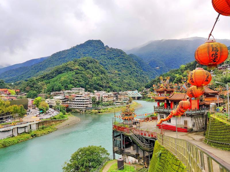
Photo: Mark Caltonhill
Wulai is said to derive from the Atayal Aboriginal word urai meaning either “hot” or “poisonous” since, as the Atayal Museum (泰雅民族博物館) in Wulai explains, the township’s origins trace back to a tribal hunter who, accidentally discovering the area and observing hot-spring gases rising from the stream bed, announced it was kirofu urai (hot and poisonous).
But we’re getting ahead of ourselves; about 25km and around an hour and a half. It is fitting, though, that our starting point is in Wanhua District (萬華), the area from which Taipei City developed, grew and spread northward and eastward.
Fitting, with today’s Aboriginal theme, because the name Wanhua was a Chinese Nationalist Party (KMT) preservation of the written form of the Japanese colonial administration’s preservation, Manga, of the spoken form of a Hoklo-Taiwanese transliteration (艋舺; Bmang-kah) of a Plains Aboriginal word vanka meaning “canoe,” (according to Akiyoshini Abe’s Research into Taiwan Place Names (台灣地名研究) published in 1935). This was where Aborigines brought timber, sweet potatoes, charcoal and other produce by boat from upstream to trade with Han-Chinese immigrants occupying the Taipei Basin.
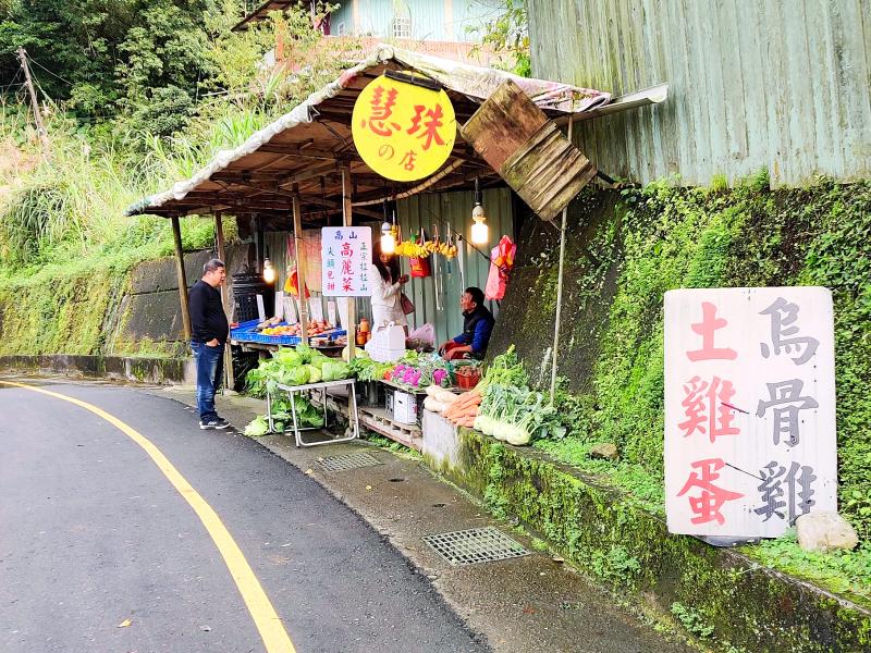
Photo: Mark Caltonhill
Shortly after leaving Wanhua we pass through Guting (古亭) in Daan District, which apparently used to be written with the similar sounding characters meaning “drum pavilion (鼓亭).” According to a stele at the local Changqing Temple (長慶廟), a tall pavilion was erected by local immigrants from Quanzhou in Fujian Province to watch for “marauding Aboriginal headhunters,” whose presence would then be announced by beating a drum.
The quickest way south from here is down Roosevelt Road, one of perhaps only two thoroughfares in Taipei named after a foreigner, the other being the MacArthur Highway. More pleasant is to take the riverside bike path. Either way, around 10km brings one to Sindian District (新店).
Dating from more than 200 years ago and meaning “New Store,” this too is a nod to Indigenous-Chinese relations, since the store’s primary trade was selling groceries to mountain-dwelling Aborigines. Wikipedia goes so far as to state the original owner was a Quanzhou native surnamed Lin (林), though the normally authoritative Abe makes no mention of this.
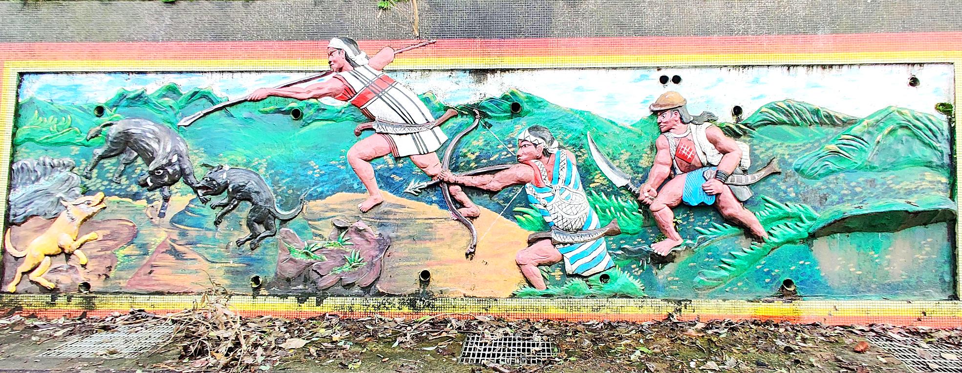
Photo: Mark Caltonhill
LEAVING THE CITY
In any case, Sindian more or less marked the boundary between Aboriginal and Han-Chinese territories in previous centuries and, today, it still marks the end of the capital’s urban sprawl.
The 15kms of the Sinwu Road (新烏路; Sindian-to-Wulai Road) includes three moderate climbs, which no doubt accounts for the hill-loving Cycling Cats’ interest, though the Guishan Popsicle Store (桂山冰棒) might be more to their taste, with its nine flavors of frozen juice-on-a-stick. In warmer seasons at least; it is currently closed until March.
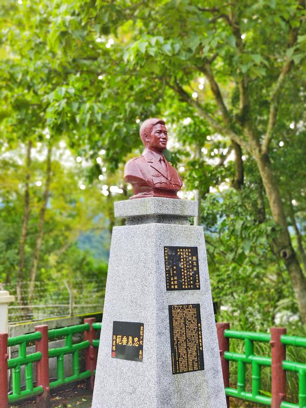
Photo: Mark Caltonhill
The store’s full name, the Ice Products Department of Guishan Power Plant (台電桂山電廠冰品部), indicates that this too is a by-product of the river. Or rivers, to be exact, as this is where the Nanshih (南勢溪; “southerly”) and Beishih (北勢溪; “northerly”) rivers join. Between them, and aided by the massive Feicui Reservoir (翡翠水庫), they provide the vast majority of Taipei and New Taipei’s water.
The dangerous power of these rivers are evidenced by two statues standing on the side of Sinwu Road. The first merely says “Gave up [him]self to save a person” (捨己救人), which commemorates the actions of Lee Ho-feng (李合豐) of the Sindian Fire Department who lost his life in October 1988 while rescuing a 7-year-old boy who was trapped by rising flood waters.
The second is somewhat more wordy, recounting the details of how Republic of China (ROC) Army Major Chen Chin-lung (陳金龍) died in August 1979 while leading his unit to repair the nearby weir so that drinking water could be reconnected to the two million citizens of Taipei depending on it. Both men were in their twenties.
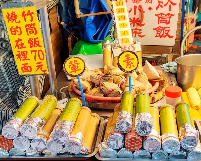
Photo: Mark Caltonhill
ARRIVING IN WULAI
Unfortunately, even when it isn’t raining in Taipei it often is in Wulai, which lies about 250m higher up in the hills. The rain is light today, however, and only makes the prospect of a hot spring soak more attractive.
There is one last climb before descending into the heart of the district, which with an area of more than 320 square kilometers is easily the largest in New Taipei City, and, with few more than 6,000 inhabitants, is the least densely populated. From the crest of this hill, sleepy-looking Wulai looks sublime ahead in the mists.
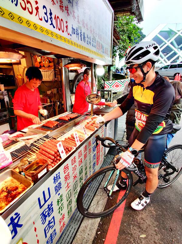
Photo: Mark Caltonhill
Unfortunately, the Atayal Museum at the beginning of the Old Street was closed for renovation. It reopened yesterday, and is a good source of information for visitors wishing to learn about the tribe’s 19th-century migration from further south and west under pressure from Han-Chinese immigration and expansion, their material culture and traditional religious practices.
This leaves more time to cycle up to the main 80m waterfall, however, which is particularly magnificent after so much rain, and, after a well-earned soak, sample the various Aboriginal/mountain foods. These range from maqaw-flavored (馬告; spicy pepper-like fruit from the Litsea cubeba tree) sausages, hot-spring-cooked eggs, rice cooked in bamboo tubes and roast boar, to multi-course meals with various high-altitude vegetables, locally caught fish and Aboriginal-themed dishes, all washed down with a bottle or two of millet wine (小米酒), of course.
Or, by rights, it should be, but we still have the 25km ride home to deal with, hopefully before the gloom descends and the inevitable evening rains begin again.
Mark Caltonhill bikes, and writes, and writes about bikes.

During the Japanese colonial era, remote mountain villages were almost exclusively populated by indigenous residents. Deep in the mountains of Chiayi County, however, was a settlement of Hakka families who braved the harsh living conditions and relative isolation to eke out a living processing camphor. As the industry declined, the village’s homes and offices were abandoned one by one, leaving us with a glimpse of a lifestyle that no longer exists. Even today, it takes between four and six hours to walk in to Baisyue Village (白雪村), and the village is so far up in the Chiayi mountains that it’s actually

Dec. 16 to Dec. 22 Growing up in the 1930s, Huang Lin Yu-feng (黃林玉鳳) often used the “fragrance machine” at Ximen Market (西門市場) so that she could go shopping while smelling nice. The contraption, about the size of a photo booth, sprayed perfume for a coin or two and was one of the trendy bazaar’s cutting-edge features. Known today as the Red House (西門紅樓), the market also boasted the coldest fridges, and offered delivery service late into the night during peak summer hours. The most fashionable goods from Japan, Europe and the US were found here, and it buzzed with activity

These days, CJ Chen (陳崇仁) can be found driving a taxi in and around Hualien. As a way to earn a living, it’s not his first choice. He’d rather be taking tourists to the region’s attractions, but after a 7.4-magnitude earthquake struck the region on April 3, demand for driver-guides collapsed. In the eight months since the quake, the number of overseas tourists visiting Hualien has declined by “at least 90 percent, because most of them come for Taroko Gorge, not for the east coast or the East Longitudinal Valley,” he says. Chen estimates the drop in domestic sightseers after the

It’s a discombobulating experience, after a Lord of the Rings trilogy that was built, down to every frame and hobbit hair, for the big screen, to see something so comparatively minor, small-scaled and TV-sized as The Lord of the Rings: The War of the Rohirrim. The film, set 183 years before the events of The Hobbit, is a return to Middle-earth that, despite some very earnest storytelling, never supplies much of an answer as to why, exactly, it exists. Rohirrim, which sounds a little like the sound an orc might make sneezing, is perhaps best understood as a placeholder for further cinematic