South Korea and the US have shelved a plan to stage a major joint exercise later this month in the Yellow Sea, reflecting concerns about China’s objections, a report said yesterday.
A US aircraft carrier was to participate in the exercise, which has been cancelled over fears that it could heighten tensions around the Korean Peninsula ahead of the G20 summit in Seoul, Yonhap news agency said.
“There will be no exercise involving a US aircraft carrier this year,” an unnamed senior South Korean official was quoted as saying.
The South’s defense ministry refused to comment.
Seoul will host world leaders including US President Barack Obama for the summit from Nov. 11 to Nov. 12, in what is considered South Korea’s biggest appearance on the global stage since the 1988 Summer Olympics in the capital.
South Korea has staged a flurry of military drills — either alone or with the US — as a show of force against North Korea following the sinking of a South Korean warship in March.
The South accused the North of torpedoing the corvette with the loss of 46 lives. The North denied involvement.
On Sept. 1, China launched live-fire naval exercises after voicing opposition to the joint drills.
Any military exercises involving the US in the Yellow Sea are a sensitive issue because of the area’s proximity to China and the disputed maritime boundary between North and South Korea.
China has bristled at the idea of a US aircraft carrier group patrolling waters near its coast.

SECURITY: As China is ‘reshaping’ Hong Kong’s population, Taiwan must raise the eligibility threshold for applications from Hong Kongers, Chiu Chui-cheng said When Hong Kong and Macau citizens apply for residency in Taiwan, it would be under a new category that includes a “national security observation period,” Mainland Affairs Council (MAC) Minister Chiu Chui-cheng (邱垂正) said yesterday. President William Lai (賴清德) on March 13 announced 17 strategies to counter China’s aggression toward Taiwan, including incorporating national security considerations into the review process for residency applications from Hong Kong and Macau citizens. The situation in Hong Kong is constantly changing, Chiu said to media yesterday on the sidelines of the Taipei Technology Run hosted by the Taipei Neihu Technology Park Development Association. With

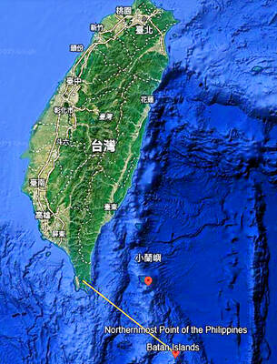
A US Marine Corps regiment equipped with Naval Strike Missiles (NSM) is set to participate in the upcoming Balikatan 25 exercise in the Luzon Strait, marking the system’s first-ever deployment in the Philippines. US and Philippine officials have separately confirmed that the Navy Marine Expeditionary Ship Interdiction System (NMESIS) — the mobile launch platform for the Naval Strike Missile — would take part in the joint exercise. The missiles are being deployed to “a strategic first island chain chokepoint” in the waters between Taiwan proper and the Philippines, US-based Naval News reported. “The Luzon Strait and Bashi Channel represent a critical access

‘FORM OF PROTEST’: The German Institute Taipei said it was ‘shocked’ to see Nazi symbolism used in connection with political aims as it condemned the incident Sung Chien-liang (宋建樑), who led efforts to recall Democratic Progressive Party (DPP) Legislator Lee Kun-cheng (李坤城), was released on bail of NT$80,000 yesterday amid an outcry over a Nazi armband he wore to questioning the night before. Sung arrived at the New Taipei City District Prosecutors’ Office for questioning in a recall petition forgery case on Tuesday night wearing a red armband bearing a swastika, carrying a copy of Adolf Hitler’s Mein Kampf and giving a Nazi salute. Sung left the building at 1:15am without the armband and apparently covering the book with a coat. This is a serious international scandal and Chinese

COUNTERINTELLIGENCE TRAINING: The ministry said 87.5 percent of the apprehended Chinese agents were reported by service members they tried to lure into becoming spies Taiwanese organized crime, illegal money lenders, temples and civic groups are complicit in Beijing’s infiltration of the armed forces, the Ministry of National Defense (MND) said in a report yesterday. Retired service members who had been turned to Beijing’s cause mainly relied on those channels to infiltrate the Taiwanese military, according to the report to be submitted to lawmakers ahead of tomorrow’s hearing on Chinese espionage in the military. Chinese intelligence typically used blackmail, Internet-based communications, bribery or debts to loan sharks to leverage active service personnel to do its bidding, it said. China’s main goals are to collect intelligence, and develop a