Irish authorities said on Tuesday they were monitoring a major oil spill that is drifting toward the Irish coast — the largest spill in the waters around Ireland in a decade.
The Irish Marine Department said the oil slick was discovered close to where a Russian aircraft carrier was refueling in the Celtic Sea between western Britain and the southern coast of Ireland.
The department said on Tuesday it was too early to predict how much of the spill, thought to be around 500 tonnes (3,750 barrels), would come ashore. The oil slick is almost 5km long and 5km wide.
Molly Walsh, a spokeswoman for the environmental group Friends of the Earth, said the spill could seriously damage marine life.
Irish authorities learned about the spill on Saturday through surveillance carried out by the European Maritime Safety Agency in Lisbon, Portugal. Irish military aircraft flew over the area and saw the Russian aircraft carrier Admiral Kuznetsov, a Russian oil tanker, and a Russian oceangoing tug near the slick.
Russia’s chief of general staff General Nikolai Marakov confirmed that a Russian aircraft carrier had refueled in the area but denied there had been any problems.
“We have no reason to think that anything went wrong during refueling,” he told reporters.
The Press Association, the British news agency, said a Russian destroyer, a British destroyer, an Irish Naval vessel and a Russian aircraft carrier were at the site of the spill off the west coast of Ireland.
Ireland’s Department of Transport said it expects the slick to reach the southern coast of Ireland in about 16 days. It said some of the oil would evaporate and most of the rest will likely develop into tar balls — small, sticky patches of oil that often wash ashore.

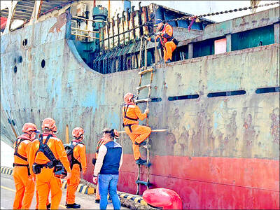
A Chinese freighter that allegedly snapped an undersea cable linking Taiwan proper to Penghu County is suspected of being owned by a Chinese state-run company and had docked at the ports of Kaohsiung and Keelung for three months using different names. On Tuesday last week, the Togo-flagged freighter Hong Tai 58 (宏泰58號) and its Chinese crew were detained after the Taipei-Penghu No. 3 submarine cable was severed. When the Coast Guard Administration (CGA) first attempted to detain the ship on grounds of possible sabotage, its crew said the ship’s name was Hong Tai 168, although the Automatic Identification System (AIS)

An Akizuki-class destroyer last month made the first-ever solo transit of a Japan Maritime Self-Defense Force ship through the Taiwan Strait, Japanese government officials with knowledge of the matter said yesterday. The JS Akizuki carried out a north-to-south transit through the Taiwan Strait on Feb. 5 as it sailed to the South China Sea to participate in a joint exercise with US, Australian and Philippine forces that day. The Japanese destroyer JS Sazanami in September last year made the Japan Maritime Self-Defense Force’s first-ever transit through the Taiwan Strait, but it was joined by vessels from New Zealand and Australia,

SECURITY: The purpose for giving Hong Kong and Macau residents more lenient paths to permanent residency no longer applies due to China’s policies, a source said The government is considering removing an optional path to citizenship for residents from Hong Kong and Macau, and lengthening the terms for permanent residence eligibility, a source said yesterday. In a bid to prevent the Chinese Communist Party (CCP) from infiltrating Taiwan through immigration from Hong Kong and Macau, the government could amend immigration laws for residents of the territories who currently receive preferential treatment, an official familiar with the matter speaking on condition of anonymity said. The move was part of “national security-related legislative reform,” they added. Under the amendments, arrivals from the Chinese territories would have to reside in Taiwan for

CRITICAL MOVE: TSMC’s plan to invest another US$100 billion in US chipmaking would boost Taiwan’s competitive edge in the global market, the premier said The government would ensure that the most advanced chipmaking technology stays in Taiwan while assisting Taiwan Semiconductor Manufacturing Co (TSMC, 台積電) in investing overseas, the Presidential Office said yesterday. The statement follows a joint announcement by the world’s largest contract chipmaker and US President Donald Trump on Monday that TSMC would invest an additional US$100 billion over the next four years to expand its semiconductor manufacturing operations in the US, which would include construction of three new chip fabrication plants, two advanced packaging facilities, and a research and development center. The government knew about the deal in advance and would assist, Presidential